
The Extra Fold
Insights, updates & industry takes.
Practical guidance on commercial real estate photography, drone capture, Matterport 3D tours, and the work happening behind the lens at Tenfold Capture.
Keep Your Portfolio Fresh: The Power of Current Property Photography
In the dynamic world of commercial real estate, first impressions are everything. We understand that a stale portfolio can mean missed opportunities, which is why keeping your property photography current is not just an option, but a necessity.
Read more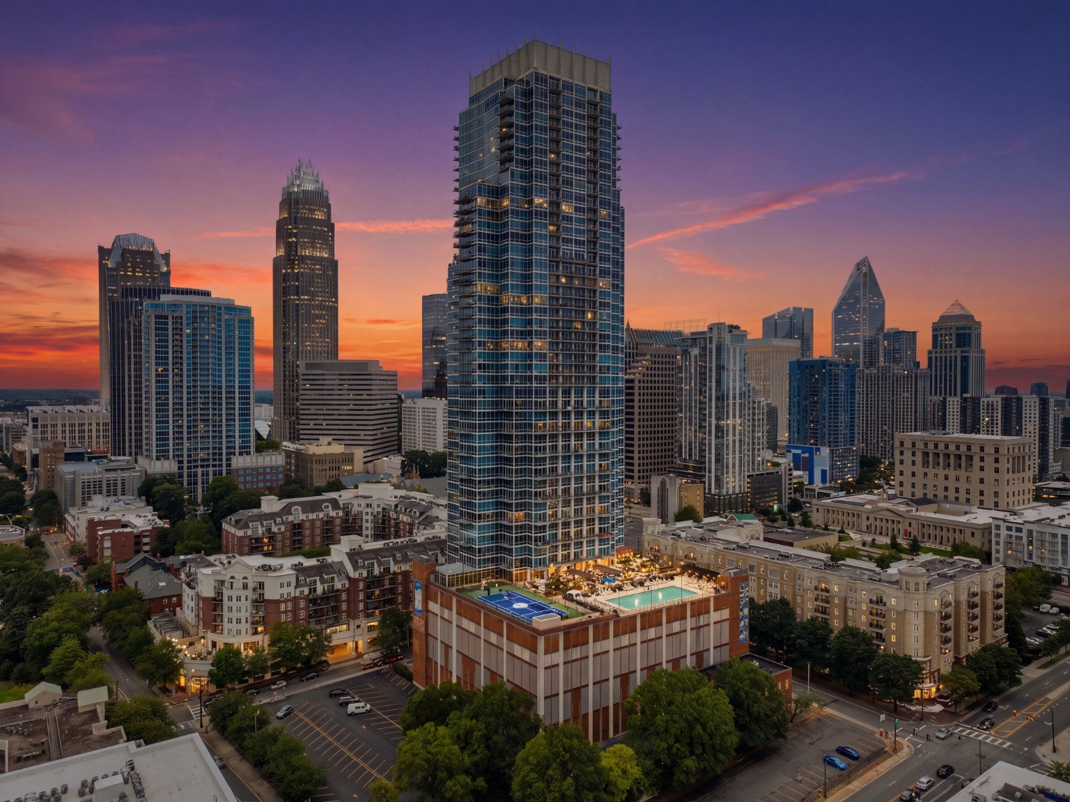
Framing the Skyline: How Tenfold Capture Helped The Vue Tell Its Story
When marketing a luxury high-rise, you're not just selling square footage—you're selling a lifestyle. For The Vue in Charlotte, North Carolina, our client needed to show prospective residents exactly where they would live in relation to Charlotte's iconic skyline. This meant creating an image that wasn't simply beautiful—it had to provide context.
Read more
5 Ways Drone Photography Helps Commercial Real Estate Listings Sell Faster
Aerial imagery gives buyers context, scale, and confidence faster than any other marketing asset. Here are the five ways it speeds up CRE deals.
Read more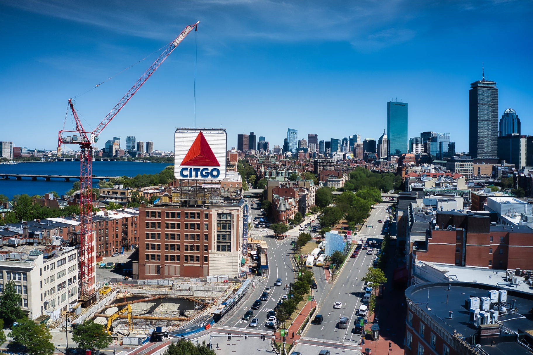
Why Matterport 3D Tours Are Becoming Standard for CRE Marketing
Remote tours, floorplans, and measurement tools are now baseline expectations for CRE marketing. Here is why a 3D tour should be part of every listing package.
Read moreTenfold Capture Adds Parking & Traffic Count Monitoring
We are now offering parking and traffic count monitoring for property owners, developers, and planners who need accurate aerial-based utilization data.
Read more